[Our podcast is fully listener-supported, which means that it’s actually your podcast! Please consider making a contribution on Patreon or sending us a one-time donation through Paypal. Help us to stay ad-free!]
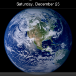
This week we have Robert Simmon on the show to discuss satellite imagery. Robert is a data visualization engineer at Planet Labs, where he creates visualizations of the earth from satellite sensor data. Previously a Data Visualizer and Designer at NASA, Robert is also known as “Mr. Blue Marble” for the image of Earth he created, which Apple later adopted as their default image for the iPhone lock screen.
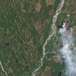
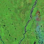
On the show we talk about satellite imagery and what it takes to transform satellite data into something that is enlightening and intelligible. We also talk about the multiple parallels between satellite images and data visualization, the key role that color plays in creating effective visualizations, and Robert’s amazing color guide “Subtleties of Color.”
Links
- Robert Simmon on Twitter
- Robert Simmon on Medium
- What’s False about True Color
- Making Sense of Satellite Data, An Open Source Workflow
- Subtleties of Color
- Gentle intro to GDAL
- 21st Century Landscapes

